Chin Lakes, Alberta Jun 06, 2015
How Planet's Distinctive Approach to Global Monitoring Sets a New Standard for Defense Analysts
Learn how broad area management with Planet helps defense analysts continually monitor change across every region of interest. Global military spending swelled to $2.24 trillion in 2023, according to analysis by the Stockholm International Peace Research Institute (SIPRI). “The unprecedented…...
Continue Reading
PLANET PULSE
Monitoring the pulse of our planet with daily news and imagery, stories, and tech updates.
Stories
AI-enabled Insights from Publications Leveraging Planet Data
Planet AI Symposium Curious to learn more on how the combination of AI and Planet's satellite data is helping to build a more sustainable and resilient world? Join us on, Thursday, January 30th for the Planet AI Symposium where industry…
CONTINUE READINGNews
Industry Leaders Join Planet AI Symposium: A Virtual Event Exploring the Future of “Geospatial Artificial Intelligence”
Today, we are proud to launch the Planet AI Symposium, a virtual event where leading experts join Planet to discuss the future of artificial intelligence. This event explores how the intersection of AI and Earth observation data could help build…
CONTINUE READINGTechnology
From Satellite Data to Actionable Insights: Predicting Hay Yield for North Dakota with Planetary Variables
Authors: Thomas Frederikse & Stephanie Gijsbers The ability to predict crop yields is essential for optimizing agricultural productivity, managing food security, and streamlining supply chain operations. Traditional forecasting methods often struggle with limited and inconsistent data, making it difficult to…
CONTINUE READINGDiscover how daily imagery brings insights for meaningful change
GO TO PLANET INSIGHTS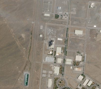
news
Clashing Eastern Superpowers, Explosions in the Middle East, Dark Fishing Fleets and More
Despite these uncertain times, when on the ground coverage is limited, satellite imagery is still there for journalists–helping them find new insights and report on global happenings. Check out how Planet imagery has helped reporters follow stories and bring news to readers. Beirut blast leaves city shocked and port in shambles Hours […]
CONTINUE READING
stories
Natasha Nogueira on High Altitude Balloons, Cubesats and Perseverance
This is the fourth installment in our Stellar Minds series, where we profile Planet’s extraordinary employees and their accomplishments. Keep checking our blog for upcoming features on some of the most remarkable people in aerospace today. This week, we’re talking to space systems engineer Natasha Nogueira, one of the stellar minds responsible […]
CONTINUE READING
news
Using Space to Help with the Mauritius Oil Spill
On July 25, 2020, the Japanese-owned bulk carrier MV Wakashio ran aground on a coral reef off the coast of Mauritius, spilling at least 1,000 tons of oil and endangering some of the world’s most pristine coral reefs and lagoons. Twenty-three days later, the spill continues to threaten the reefs, human well-being […]
CONTINUE READING
news
SkySat Constellation Complete: SkySats 19-21 Successfully Launch Aboard the SpaceX Falcon 9
The world’s largest fleet of high-resolution imaging satellites just welcomed three new satellites to the family. On August 18, 2020, SpaceX’s Falcon 9 rocket launched SkySats 19, 20 and 21 on yet another successful Starlink rideshare mission. Much like SkySats 16-18, which were launched by SpaceX on June 13, 2020, SkySats 19-21 […]
CONTINUE READING
stories
How Planet is Powering xarvio’s Ambition to Support Growers in Optimizing Crop Production Globally
The importance of resilient food supply chains is more evident than ever as seen with disruptions resulting from the COVID-19 pandemic. Adding to this, the impact of climate change is becoming more apparent each season, with record warm droughts and flooding. Global events throw into relief the big question on everyone’s minds: […]
CONTINUE READING