Chin Lakes, Alberta Jun 06, 2015
How Planet's Distinctive Approach to Global Monitoring Sets a New Standard for Defense Analysts
Learn how broad area management with Planet helps defense analysts continually monitor change across every region of interest. Global military spending swelled to $2.24 trillion in 2023, according to analysis by the Stockholm International Peace Research Institute (SIPRI). “The unprecedented…...
Continue Reading
PLANET PULSE
Monitoring the pulse of our planet with daily news and imagery, stories, and tech updates.
Stories
AI-enabled Insights from Publications Leveraging Planet Data
Planet AI Symposium Curious to learn more on how the combination of AI and Planet's satellite data is helping to build a more sustainable and resilient world? Join us on, Thursday, January 30th for the Planet AI Symposium where industry…
CONTINUE READINGNews
Industry Leaders Join Planet AI Symposium: A Virtual Event Exploring the Future of “Geospatial Artificial Intelligence”
Today, we are proud to launch the Planet AI Symposium, a virtual event where leading experts join Planet to discuss the future of artificial intelligence. This event explores how the intersection of AI and Earth observation data could help build…
CONTINUE READINGTechnology
From Satellite Data to Actionable Insights: Predicting Hay Yield for North Dakota with Planetary Variables
Authors: Thomas Frederikse & Stephanie Gijsbers The ability to predict crop yields is essential for optimizing agricultural productivity, managing food security, and streamlining supply chain operations. Traditional forecasting methods often struggle with limited and inconsistent data, making it difficult to…
CONTINUE READINGDiscover how daily imagery brings insights for meaningful change
GO TO PLANET INSIGHTS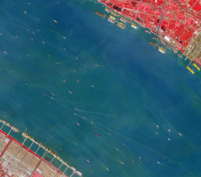
news
Product Developments Revealed at Explore 19
In the Product Vision Keynote session, Planet Co-founder and Chief Strategy Officer Robbie Schingler, alongside Planet product managers, picked up where the opening session left off and introduced even more exciting product announcements. Here’s the breakdown: Planet Monitoring To help customers get access to the latest and greatest Next-Generation PlanetScope imagery, we […]
CONTINUE READING
tech
Planet Announces More Spectral Bands, 50 cm Resolution, Global Analytics, and Change Detection
This morning at our Explore 19 conference, Planet co-founder and CEO Will Marshall unveiled the latest product announcements that customers can look forward to in the next year. Planet Monitoring Will announced new capabilities for Next-Generation PlanetScope, our flagship monitoring solution powered by the latest iteration of our Dove satellite called SuperDove. […]
CONTINUE READING
stories
Introducing Planet Orbit: Planet’s New Partner Program
Today we’re happy to announce the launch of Planet Orbit—Planet’s new partner program—which provides customers with a trusted partner ecosystem and unique data set. The program allows partners to gain access to geospatial data not otherwise available in the commercial market, create powerful solutions and differentiate their business. “Planet is positioned to […]
CONTINUE READING
news
Professional Services: Helping Customers Unlock Their Full Potential
Today, Planet is launching Professional Services to help customers unlock the full potential of our products and tools. With Professional Services, customers will be able to more easily navigate our platform and APIs, build applications to optimize return on investment, and integrate imagery into their tech stack more efficiently. “Our goal at […]
CONTINUE READING
stories
How Precision Agriculture Can Change Farming’s Financial Landscape
It’s not surprising that agricultural technology, and in particular, precision agriculture are becoming crucial tools in a farmer’s arsenal. In order to boost productivity and profitability, farmer’s need to carefully manage where they invest their time and resources. New technologies are making this possible at a scale never before possible. During Zambia’s […]
CONTINUE READING